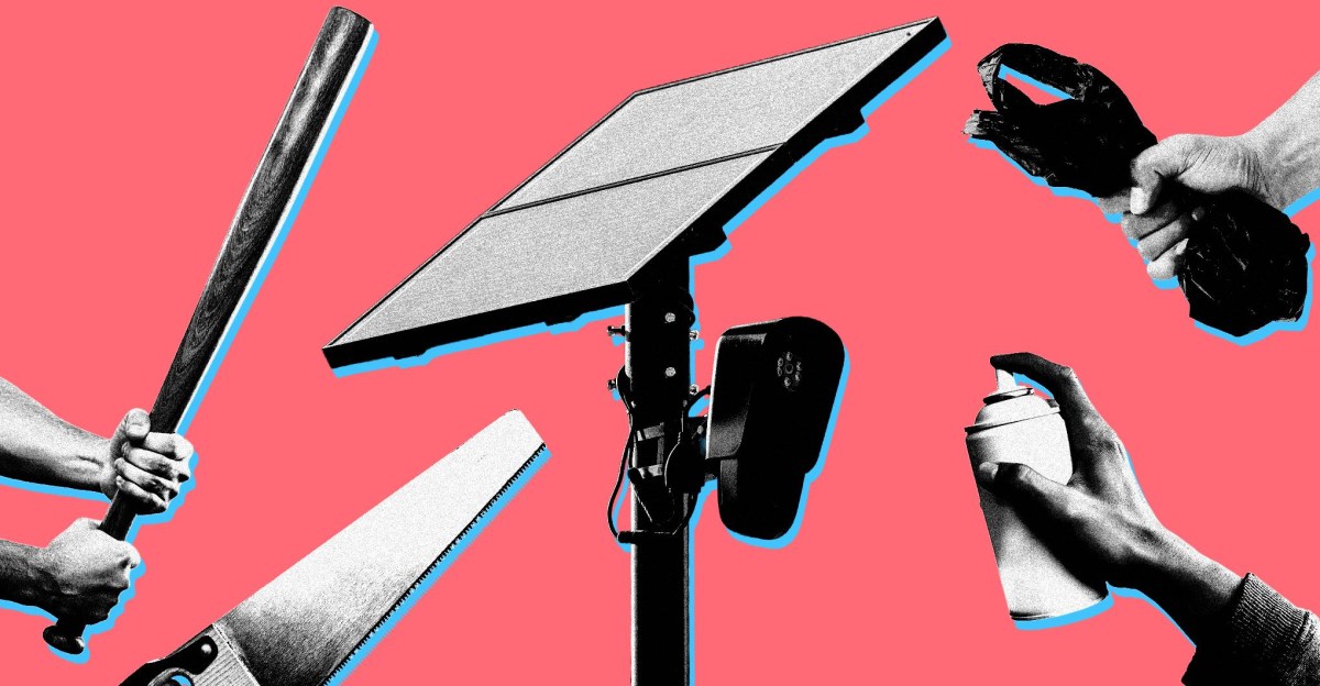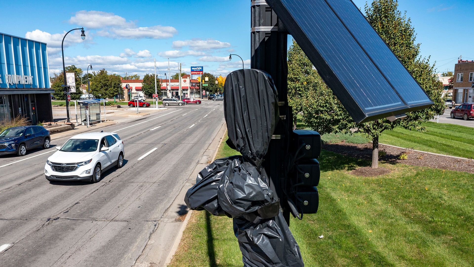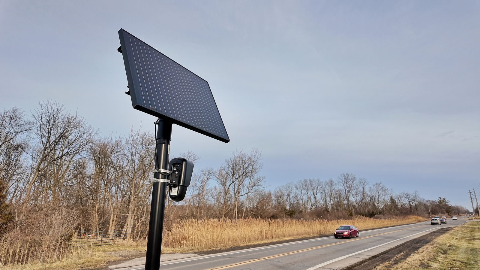
MapQuest's mobile app now lets users see where known surveillance cameras are located. The mapping service rolled out a new Surveillance Layer this week that displays automatic license plate readers and outdoor cameras from more than a dozen companies, including Flock Safety, according to Engadget and Mashable.
The feature arrives as opposition to Flock and other license plate readers intensifies across the United States. Hundreds of local governments have cancelled contracts with the company, and Reuters reported last week that Flock plans to cut about 18 percent of its workforce, as covered in a Decoder interview with researcher Benn Jordan on The Verge.
What the Surveillance Layer shows
The layer plots locations of license plate readers and public cameras from Flock plus Motorola Solutions (Vigilant), Genetec, Axis Communications, Axon, Leonardo (ELSAG), Neology, Rekor, PlateSmart, Ubicquia and Verkada. MapQuest says the location data comes from OpenStreetMap contributors, an open-source, community-built mapping database.
Users can find the option alongside existing layers for traffic and incidents. In a short video announcing the update, MapQuest set the feature to Rockwell's "Somebody's Watching Me." The layer will not help drivers avoid cameras on their usual routes, but it does illustrate how dense the surveillance network has become.
MapQuest first launched in 1996 and was long overshadowed by Google Maps. It has been gaining users again in recent months, including a surge in September after it refused to follow an executive order renaming Lake Ontario.
- Flock Safety
- Motorola Solutions (Vigilant)
- Genetec